The Basics: Scanning with Drones
Utilising UAV technology to capture 3D data
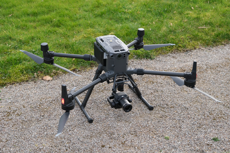
If we want to capture a large open area as a 3D model, then it might be good to use a drone to do that job. Drones allow a large space to be captured using cameras and lasers, allowing that data to then be used for everything from construction and engineering to land surveying.
Planning the Flight Path
The first step in using drones to scan an environment is to plan the flight path. This involves defining the area to be scanned and determining the altitude, speed, and overlap of the drone’s flight path. The flight path is typically defined using specialized software that takes into account the characteristics of the drone, the camera used, and the desired resolution of the final output.
Once the flight path has been planned, the drone is then launched and flown along the predetermined path, capturing images of the environment using a high-resolution camera. Depending on the area being scanned, multiple flights may be required to capture data from all angles and altitudes.
Collecting the Data
After the data has been collected, it is then processed using specialized software that generates a 3D point cloud of the scanned area. The software uses algorithms to analyse the images captured by the drone, identifying common features and stitching them together to create a cohesive 3D model of the environment.
Once the point cloud has been generated, it can then be further processed to create a variety of outputs, such as 3D models, maps, and topographical data. The final output can be used for a variety of applications, including construction planning, environmental monitoring, and land surveying. There are many advantages to using drones for scanning environments. For one, it allows for the rapid and accurate collection of data, which can be difficult or time-consuming to capture using traditional methods. Drones are also able to access areas that may be difficult or dangerous for humans to reach, such as steep or unstable terrain.
In Conclusion
While drones are coming down in price all the time, specialised drones purpose built for laser scanning can still cost tens of thousands of pounds. As well as the expense, it’s required that special training is needed to fly them in public spaces as they could be dangerous for air traffic and other hazards. Therefore, it’s recommended to ask and expert when it comes to drone scanning.
If you think that you require drone scans for your project or industry, contact OR3D today at:
Phone – 01691 777774
email – info@or3d.co.uk
Our Contact page – https://www.or3d.co.uk/contact-us/