Providing geospatial solutions for various industries and sectors.
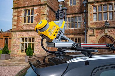
Transform vehicles into powerful data collection platforms. Equipped with a combination of GPS, LiDAR, cameras, and other sensors, to capture highly accurate 3D data.
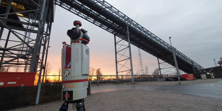
Uncover the secrets of your infrastructure using 3D scanning technology to capture detailed and accurate three-dimensional representations of physical structures, objects, or environments.
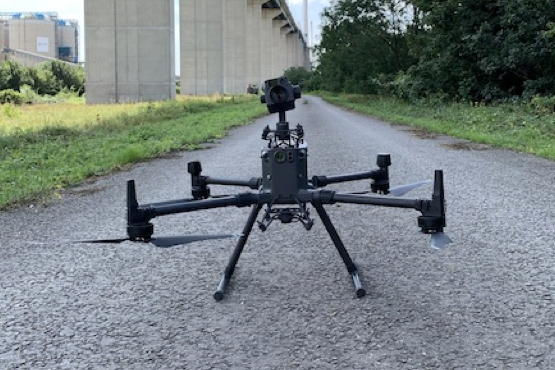
Eliminate the need for personnel to access hard-to-reach areas, such as bridges, power lines, or tall buildings.
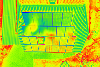
A crucial geospatial technique that reveals temperature variations in objects, structures, and environments.
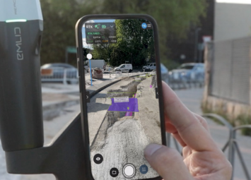
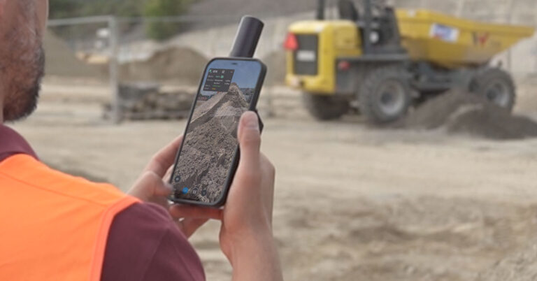
Digitise reality and measure from images taken from planes, drones, phones, or any camera.
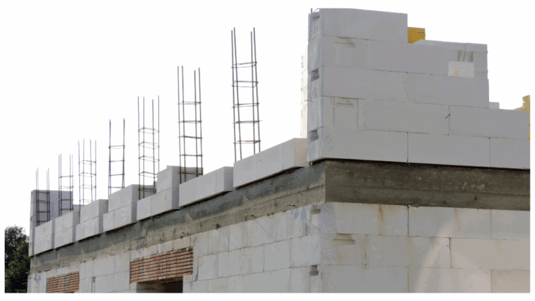
On finding RAAC, OR3D GEO immediately evaluate the exact condition of the RAAC and produce a plan and a set of options for next steps.
OR3D works with all sectors possessing extensive knowledge across numerous applications.
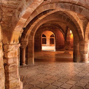
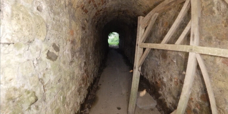
With vast experience in heritage infrastructure scanning, OR3D GEO capture detailed data and documentation of historical and cultural structures or sites.
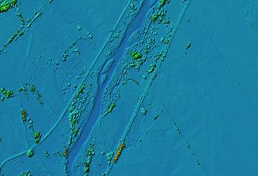
Gather relevant data such as topographic maps, land use maps, rainfall data, river flow data, and information about infrastructure like dams and levees.
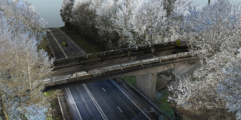
Laser scanners capture millions of data points from the bridge structure, including details of the surface geometry, cracks, deformations, and other structural features.
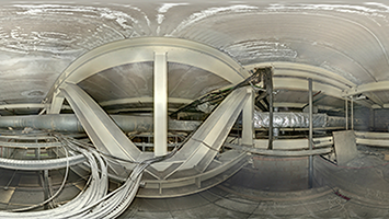
Using the Elios 3, OR3D GEO capture detailed visual data of the confined space, enabling inspectors to identify potential issues such as corrosion, leaks, cracks, or structural damage.

Using drone technology and cameras for crack detection on cooling towers offers several advantages, primarily in terms of efficiency, safety, and accuracy.
OR3D's comprehensive Knowledge Base Blog, your go-to resource for all things related to 3D Printing, Scanning, CAD Modelling, Reverse Engineering, Robotics, and company announcements. Our knowledge base is designed to empower you with the latest industry insights and news.
Speak to us today on
+44 (0) 1691 777 774

3 Cedar Court, Brynkinalt Business Centre, Chirk, Wrexham, LL14 5NS
Find Us