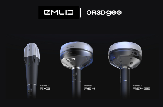
Uncover the secrets of your infrastructure
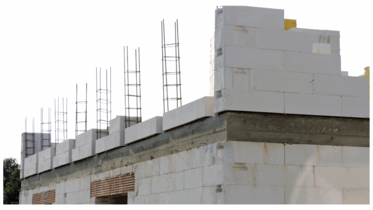
Infrastructure scanning plays a crucial role in assessing the health, safety, and structural integrity of various critical facilities such as mines, bridges, tunnels, highways, and dams. These scans utilise advanced technologies to collect data and provide insights into the condition of the infrastructure. Here’s how infrastructure scanning bridges are commonly used in the context of mines and dams:
Safety Inspections
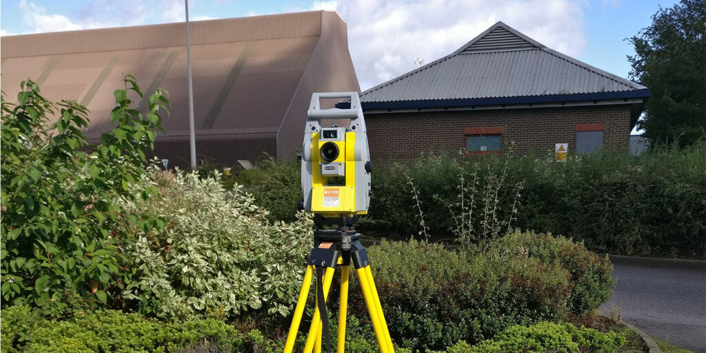
Mines and dams are often located in remote or challenging environments. Infrastructure scanning bridges equipped with sensors and cameras can be deployed to inspect the structures without putting human inspectors at risk. These scans help identify potential hazards, structural weaknesses, and areas that may require maintenance or repair.
Monitoring Structural Integrity
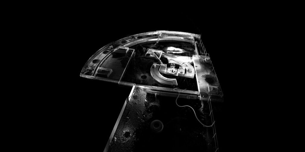
Infrastructure scanning bridges can be equipped with various sensors, including LiDAR (Light Detection and Ranging) to monitor the structural integrity of mines and dams. Continuous monitoring allows for the detection of any subtle changes in the infrastructure, helping to identify potential issues before they become major problems.
Surveying and Mapping
Infrastructure scanning bridges can be used for accurate surveying and mapping of mines and dam structures. This data can be valuable for design and planning purposes. 3D mapping technologies can provide detailed information about the topography, elevation, and features of the area surrounding the infrastructure.
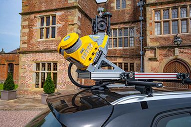
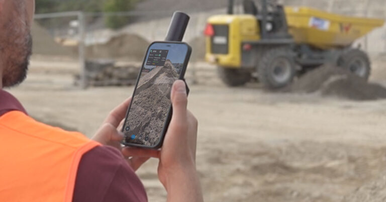
Transform vehicles into powerful data collection platforms. Equipped with a combination of GPS, LiDAR, cameras, and other sensors, to capture highly accurate 3D data as they traverse roads and landscapes.
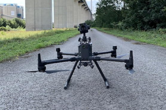
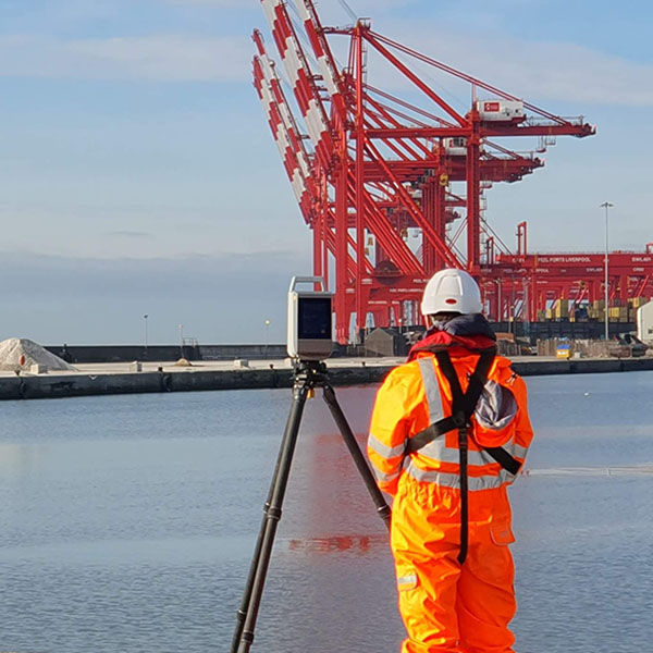
Eliminate the need for personnel to access hard-to-reach areas, such as bridges, power lines, or tall buildings. This leads to rapid data collection, quicker decision-making and a reduction in project timelines.
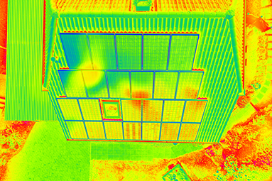
A crucial geospatial technique that reveals temperature variations in objects, structures, and environments.
OR3D's comprehensive Knowledge Base Blog, your go-to resource for all things related to 3D Printing, Scanning, CAD Modelling, Reverse Engineering, Robotics, and company announcements. Our knowledge base is designed to empower you with the latest industry insights and news.
Speak to us today on
+44 (0) 1691 777 774

3 Cedar Court, Brynkinalt Business Centre, Chirk, Wrexham, LL14 5NS
Find Us