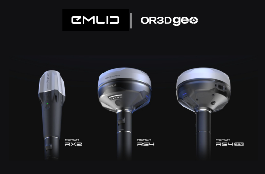
Our expertise in geospatial analysis and data visualisation allows us to deliver accurate and comprehensive mapping services tailored to your specific requirements.
Mobile mapping refers to the process of collecting geospatial data using 3D mobile mapping systems mounted on vehicles. These advanced mobile mapping systems combine advanced technologies, including GPS, LiDAR, cameras, and specialised software, to create detailed and up-to-date maps, navigation tools, and location-based services. By transforming vehicles into data collection platforms, mobile mapping systems for land surveying and other applications have revolutionised the field of geospatial data acquisition.
How Does a 3D Mobile Mapping System Work?
3D mobile mapping navigation systems integrate various technologies to capture and process geospatial data with unmatched precision and efficiency. The key components of mobile mapping systems include:
Applications of Mobile Mapping Systems
The applications of mobile mapping systems are vast and growing, with some of the most common uses including:
Why Choose a 3D Mobile Mapping System?
By leveraging the latest technologies, mobile mapping systems offer unparalleled efficiency and accuracy. Whether you’re in land surveying, urban planning, or navigation system development, the application of mobile mapping systems provides the tools needed to stay ahead in the field.
Discover how 3D mobile mapping systems can transform your projects by delivering the precision and performance required for today’s geospatial challenges.


Digitise reality and measure from images taken from planes, drones, phones, or any camera. It revolutionises photogrammetry enabling you to scale up and unleash the power of your imagery.
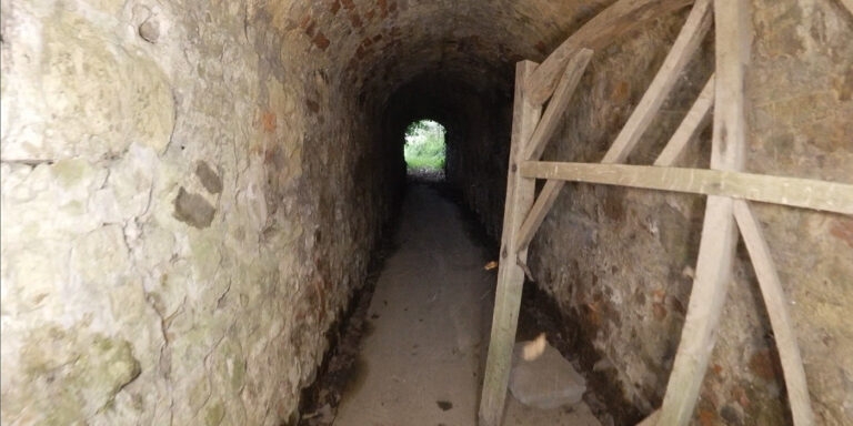
Using the Elios, OR3D GEO capture detailed visual data of the confined space, enabling inspectors to identify potential issues such as corrosion, leaks, cracks, or structural damage.
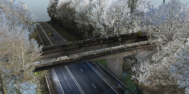
Laser scanners capture millions of data points from the bridge structure, including details of the surface geometry, cracks, deformations, and other structural features.
OR3D's comprehensive Knowledge Base Blog, your go-to resource for all things related to 3D Printing, Scanning, CAD Modelling, Reverse Engineering, Robotics, and company announcements. Our knowledge base is designed to empower you with the latest industry insights and news.
Speak to us today on
+44 (0) 1691 777 774

3 Cedar Court, Brynkinalt Business Centre, Chirk, Wrexham, LL14 5NS
Find Us