Geospatial

Understanding RAAC and Why Inspection Matters

Understanding RAAC and Why Inspection Matters

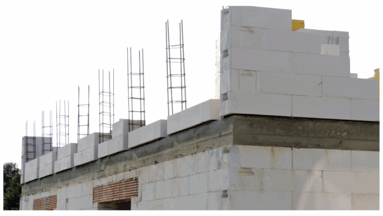
What is RAAC? Reinforced Autoclaved Aerated Concrete (RAAC) is a precast, lightweight construction material that was commonly used from the mid-1950s through to the mid-1990s, particularly in public sector buildings like schools, hospitals, and offices.

Transforming On-Site Data Collection with the ViDoc RTK Rover

Transforming On-Site Data Collection with the ViDoc RTK Rover

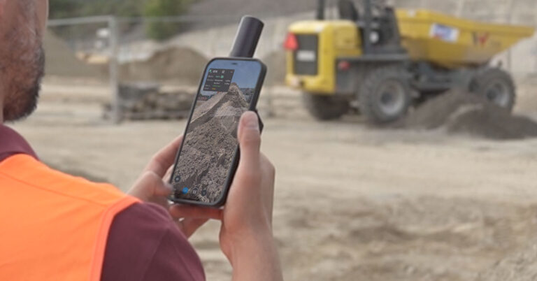
In today’s fast-paced construction and surveying industries, efficient data collection and accuracy are critical for transforming field measurements into actionable insights. One standout tool in this space is the ViDoc RTK Rover from PIX4D.

Understanding the Technical Variances of Drone Inspection Services

Understanding the Technical Variances of Drone Inspection Services

This blog post delves into the intricacies of LiDAR and photogrammetry, exploring their underlying principles, advantages, and ideal use cases.

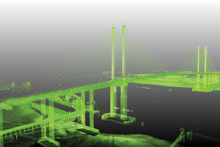
Precision and Safety in Bridge Inspections with LiDAR and UAV Technology.

Precision and Safety in Bridge Inspections with LiDAR and UAV Technology.

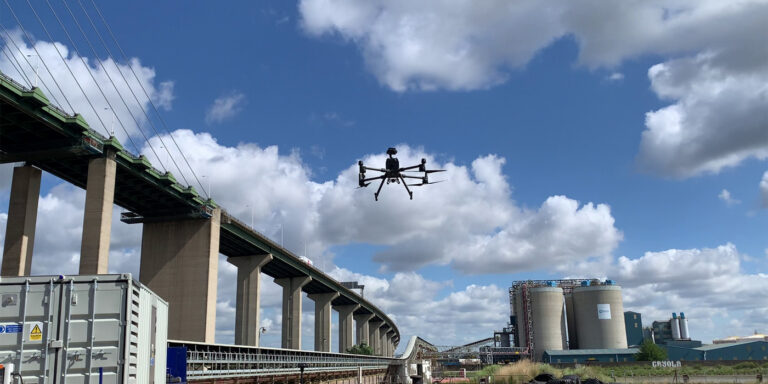
In the evolving landscape of infrastructure management, bridge inspections stand as a critical task requiring meticulous attention to detail and uncompromising safety standards. The health and safety of our infrastructure are paramount, as even minor issues with a bridge can escalate into major problems if not identified and addressed promptly.

GEO Business 2024

GEO Business 2024

We are immensely grateful to everyone who visited OR3D GEO at GEO Business 2024. At this year’s event, we showcased a range of our innovative solutions and services.

OR3D’s Geospatial Services: A closer look at the specific technologies and services OR3D GEO offer and the industries we serve.

OR3D’s Geospatial Services: A closer look at the specific technologies and services OR3D GEO offer and the industries we serve.

Drone Surveys Drone surveys offer several advantages in civil infrastructure surveying. Drone technologies eliminate the need for personnel to access hard-to-reach areas, such as bridges, power lines or tall buildings.

Get in touch

What happens next?
  • Our expert team will review your enquiry and get back to you by phone or email within two hours.
  • We can answer any queries you may have, assist you in choosing the most appropriate product or get back to you with a quote for your upcoming project. We’re here to help.

Speak to us today on
+44 (0) 1691 777 774

3 Cedar Court, Brynkinalt Business Centre, Chirk, Wrexham, LL14 5NS
Find Us