Assessing landslide risks in a large woodland in North Wales area prone to terrain instability and erosion.
Download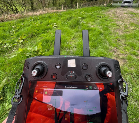
OR3D GEO was approached by a National Forestry organisation to assess landslide risks in a large woodland in North Wales area prone to terrain instability and erosion. Traditional survey methods were inadequate due to the dense vegetation and challenging terrain, making it difficult to obtain accurate elevation data and monitor ground movement.
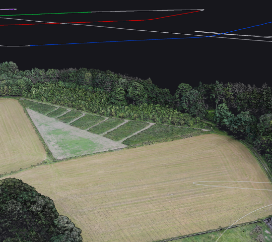
One of the primary issues was obtaining accurate elevation data to create precise elevation models, which are crucial for identifying potential future large-scale landslides. Accurate elevation models are essential to understand the terrain’s morphology, predict areas at risk, and plan mitigation strategies effectively. Without this data, it becomes challenging to monitor land movement, detect subtle shifts indicating potential landslide activity, and estimate the volume of potential landslide debris.
Ensuring high data accuracy was vital for this project to capture critical measurements and provide a reliable assessment of the landslide risks. Addressing this challenge required LiDAR technology to penetrate dense vegetation and accurately map the terrain to enable effective monitoring and risk management.
Survey Size: 60 Hectares
Number of flights (including altitude): one 30-minute flight at 50 metres above ground level.
Live cast using Space X, Starlink: OR3D GEO provided accurate and up-to-date information in real-time to our client with the use of Starlink.
Points Per Square Metre: 300
Returns: penetration through the canopy with multiple returns
OR3D GEO employs leading technology for data acquisition, utilising the Yellowscan Ultra 3 LiDAR unit. This LiDAR unit boasts impressive capabilities, emitting 640,000 lines per second and capturing 3 Echoes per shot. These specifications ensure exceptional accuracy (+/- 25mm) and precision (+/- 30mm) in distance measurements, crucial for detailed mapping in challenging environments.
OR3D GEO deployed these advanced airborne LiDAR sensors to meticulously capture detailed elevation data across the entire woodland area. The high-speed laser pulses emitted by the Yellowscan Ultra 3 LiDAR unit penetrate dense tree canopies and debris, allowing for precise measurements of the forest floor and underlying terrain features.
The LiDAR sensors collected extensive data by emitting laser pulses and recording the reflected signals from the ground surface. This data was processed to generate a comprehensive dataset, including detailed point cloud data and high-resolution Digital Elevation Models (DEMs), Digital Surface Models (DSMs), and Digital Terrain Models (DTMs).
Speak to us today on
+44 (0) 1691 777 774

3 Cedar Court, Brynkinalt Business Centre, Chirk, Wrexham, LL14 5NS
Find Us