We laser scanned the cathedral for artists Heinrich & Palmer, and our point cloud became the raw material for Once a Desert.
Download Case StudyClient: Heinrich & Palmer
Location: Chester Cathedral, Chester
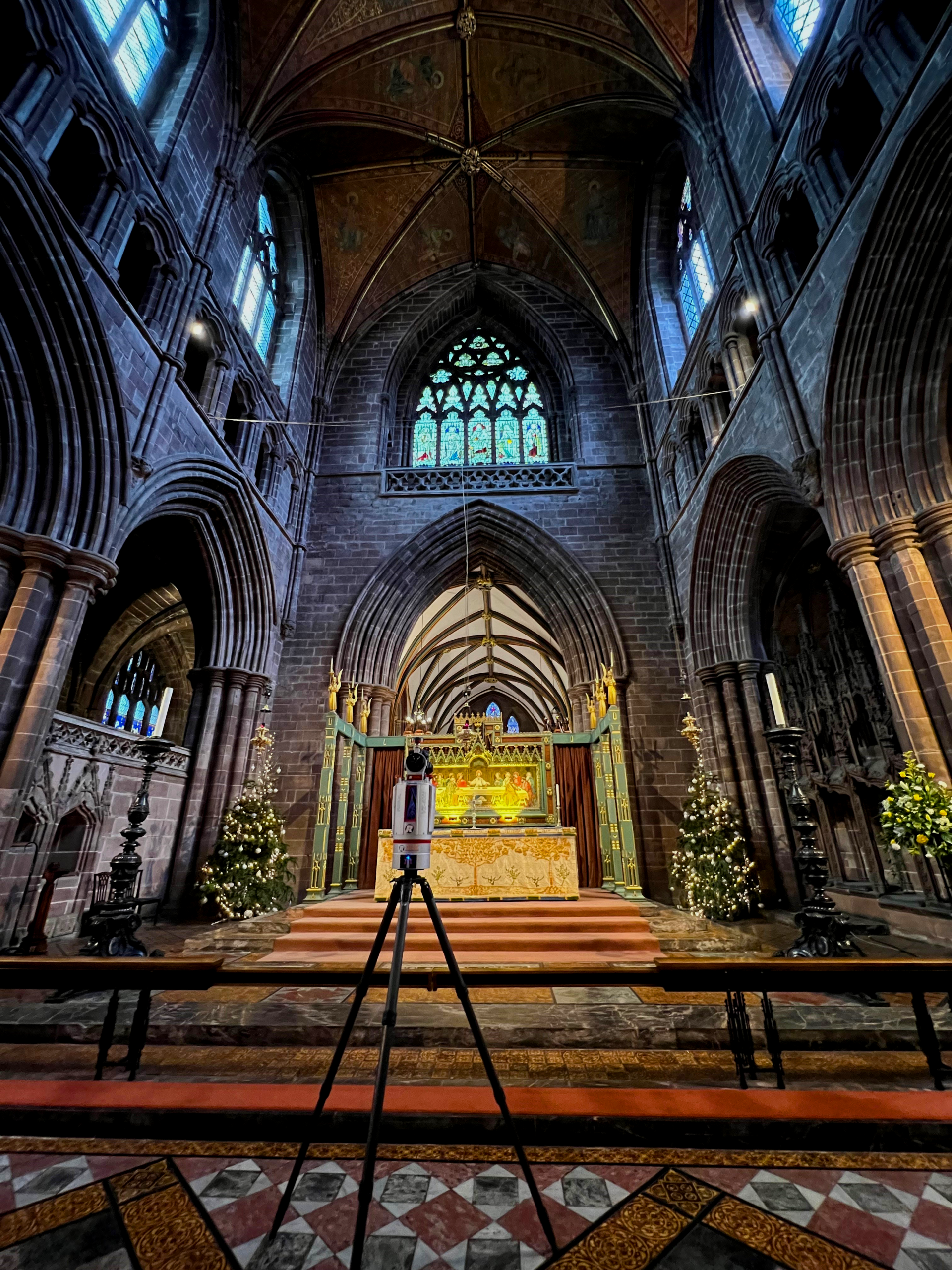
Scanner: RIEGL VZ-400i terrestrial laser scanner
On site: 2 days, around 500 scan positions
Processing: RiSCAN PRO
Deliverable: Registered, colourised point cloud
Used for: Once a Desert, 9, 10 and 12 March 2022
Heinrich & Palmer make artworks from light, sound and 3D data, often inside the historic buildings they respond to. For Once a Desert, commissioned through Refresh, Chester’s cultural recovery programme, they wanted to project the cathedral back onto its own stonework.
That meant they needed a complete, measured 3D record of the building: something they could animate, take apart and fly through, and that would line up with the real architecture when projected in the nave.
The title looks back to the Triassic, over 200 million years ago, when deserts covered much of the supercontinent Pangaea. The piece reflects on deep time and on how even a stone building is impermanent.
We captured the building with a RIEGL VZ-400i terrestrial laser scanner. At each setup the scanner sweeps a laser through almost a full sphere, measuring the distance to millions of points. A camera on the scanner photographs the same view, so every point takes on the real colour of the sandstone, timber and glass behind it.
Over two days on site we completed around 500 scan positions, inside and out. The cathedral stayed open while we worked, so setups were planned around services and visitors. We placed them so that piers, screens and choir stalls didn’t leave gaps in the data.
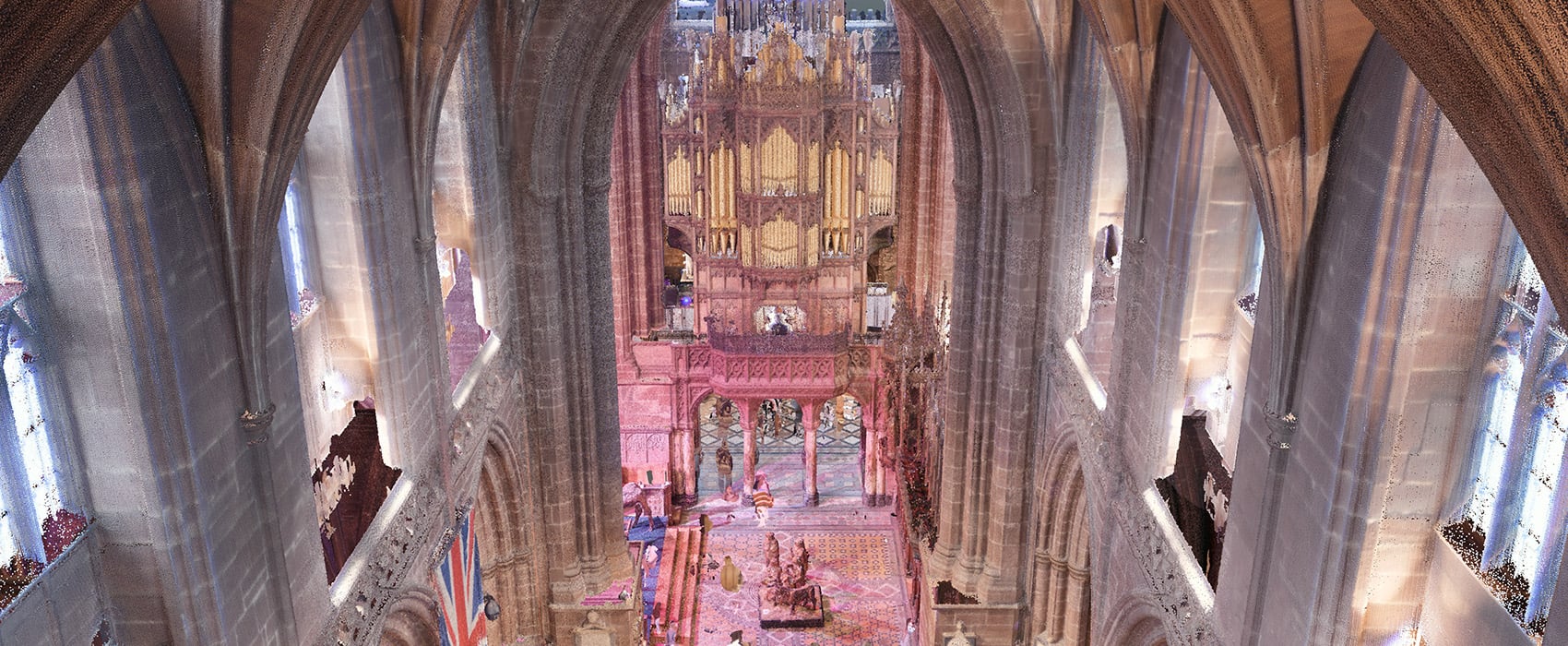
Back in the office, we registered the scans from all 500 or so positions together in RiSCAN PRO, RIEGL’s processing software, to create a single, unified point cloud of the whole cathedral. Because the data is measured rather than modelled, the same dataset can be shown as a photoreal view, as a see-through structure, or coloured by height. The artists used all three.
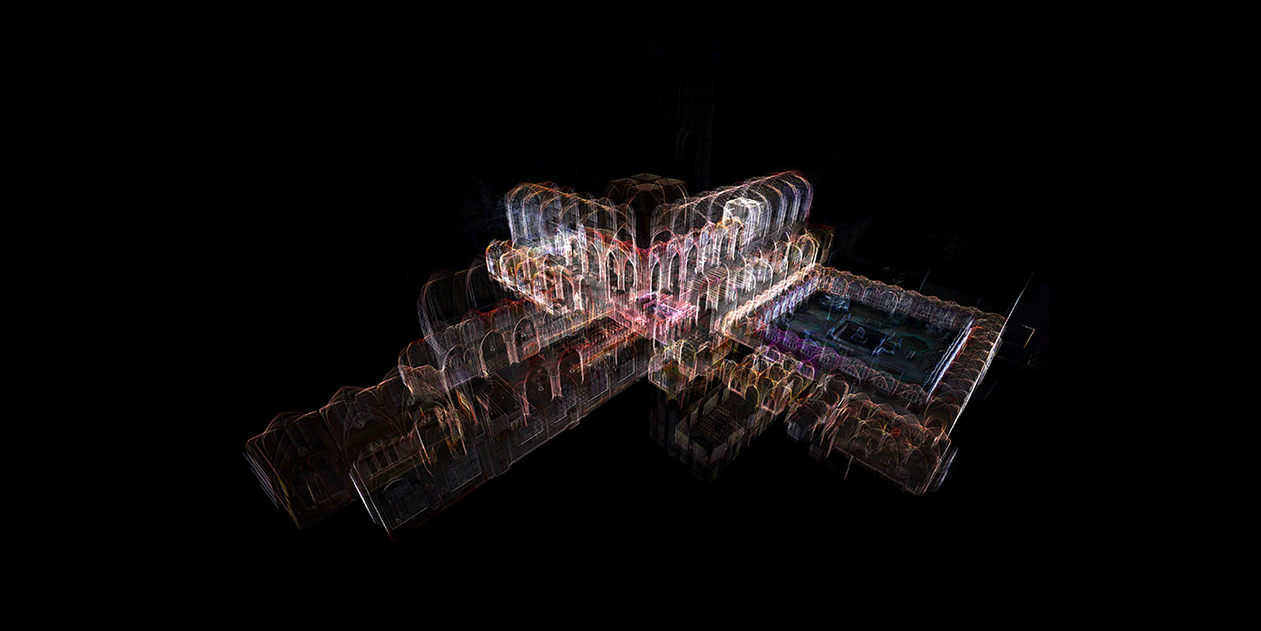
Because the data is measured rather than modelled, the same point cloud can be shown as a photoreal view, as a see-through structure, or coloured by height. Every point has a real position in space, so the cathedral can be viewed from any angle or made transparent without losing accuracy. The artists used all three.
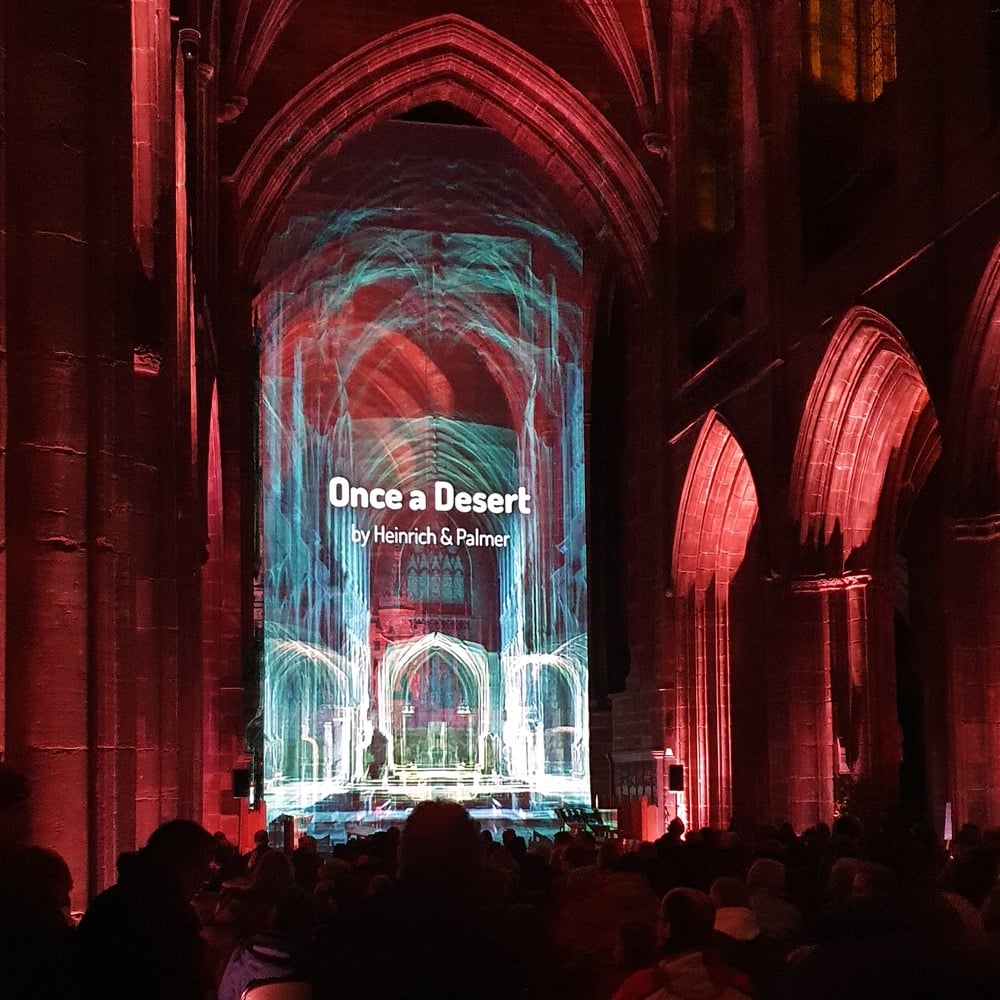
Heinrich & Palmer combined the point cloud with high-speed film to create a large-scale animated projection with a soundscape, shown free to the public across three evenings. Visitors sat in the nave and watched arches, vaults and cloisters drift apart and reassemble, projected in front of the stone they were captured from.
“We have been working with scan data since 2015 and with OR3D on a number of projects. We really like the way that transparency can be controlled to reveal the inner workings and architectural forms of spaces to evoke a sense of memory, appearing to be both ancient and futuristic at the same time. This becomes immersive when projecting at large scale onto a semi-transparent voile screen and the architecture appears to float in thin air, such as with Once a Sea.”
A measured point cloud of a building like Chester Cathedral is useful long after the projectors are packed away. It gives a baseline for conservation and condition monitoring, a source for drawings and models when works are planned, and a starting point for future creative and educational projects.
Scanning a heritage building? Talk to our team about laser scanning for conservation records, measured drawings or creative projects.
Download the case study (PDF)
Credit
Once a Desert by Heinrich & Palmer was produced as part of Refresh, funded by Arts Council England and the Government’s Additional Restrictions Grant, administered by Cheshire West and Chester Council, with The Hamilton Project as Creative Producers.

Speak to us today on
+44 (0) 1691 777 774
3 Cedar Court, Brynkinalt Business Centre, Chirk, Wrexham, LL14 5NS
Find Us