Capture - Full site GPR coverage
GPR utility survey data covering a full site before excavation.
Know what’s below ground before you dig – utility mapping delivered as CAD and BIM-ready drawings.
Get the data sheetAn underground utility survey locates and records the buried services on a site, such as water mains, gas pipes, electricity and telecoms cables and drainage. It shows what is there, where it runs and roughly how deep it sits. Having that picture before excavation is the most reliable way to avoid service strikes, which put people at risk and cause delays and repair costs on any project.
We combine two detection methods. Electromagnetic utility detection traces metallic services and cables that carry a signal. A GPR utility survey uses ground penetrating radar to pick up what electromagnetic tools miss, including plastic pipes, ceramic drains and ducts. Using both gives far more complete buried cable detection and buried pipe detection than either method alone. We’re also working towards PAS 128, the UK specification for underground utility surveys.
We provide utility mapping for construction, utility surveys for developers and highway schemes, and utility mapping for civil engineering, drainage works and rail projects. Typical uses include pre-construction utility surveys, site investigations and mapping buried services early in design and planning, before a layout is fixed.
Every survey is tied into survey control, so utility mapping lines up with your topographic data and site grid. Results come as CAD utility drawings, with BIM-ready utility survey deliverables available for design teams working in a federated model. OR3D GEO also delivers drone, LiDAR and mobile mapping surveys, above-ground and below-ground data can come from one team on one coordinate system.
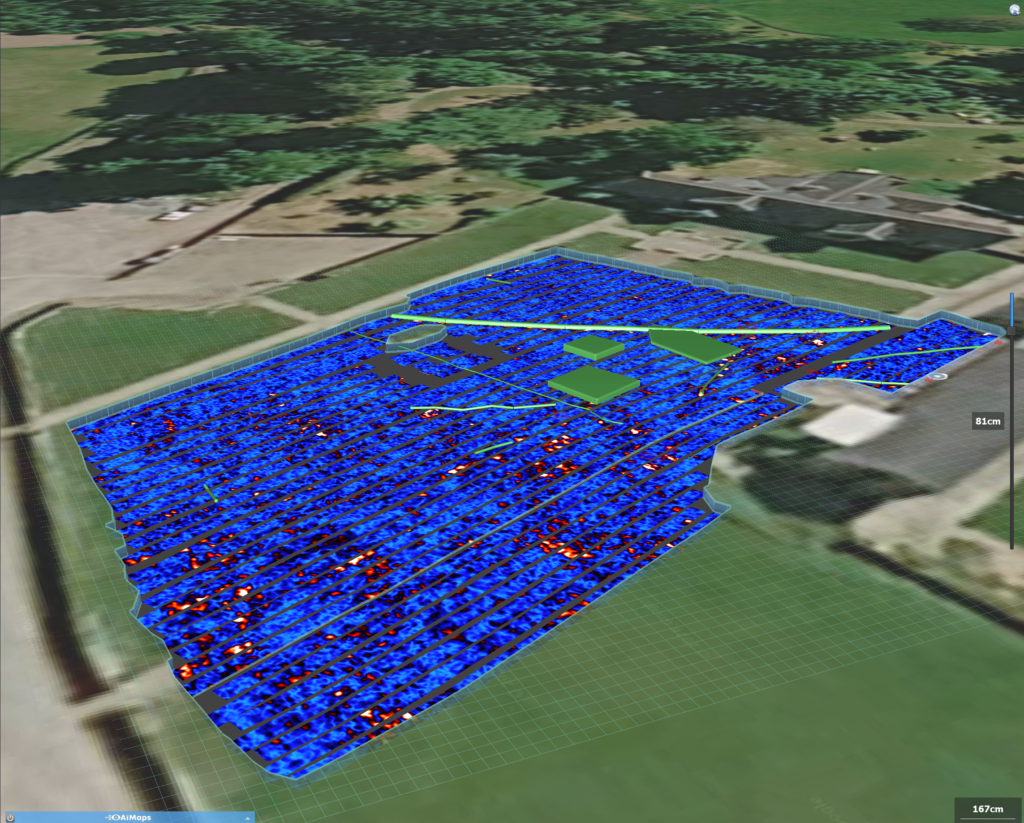
GPR utility survey data covering a full site before excavation.
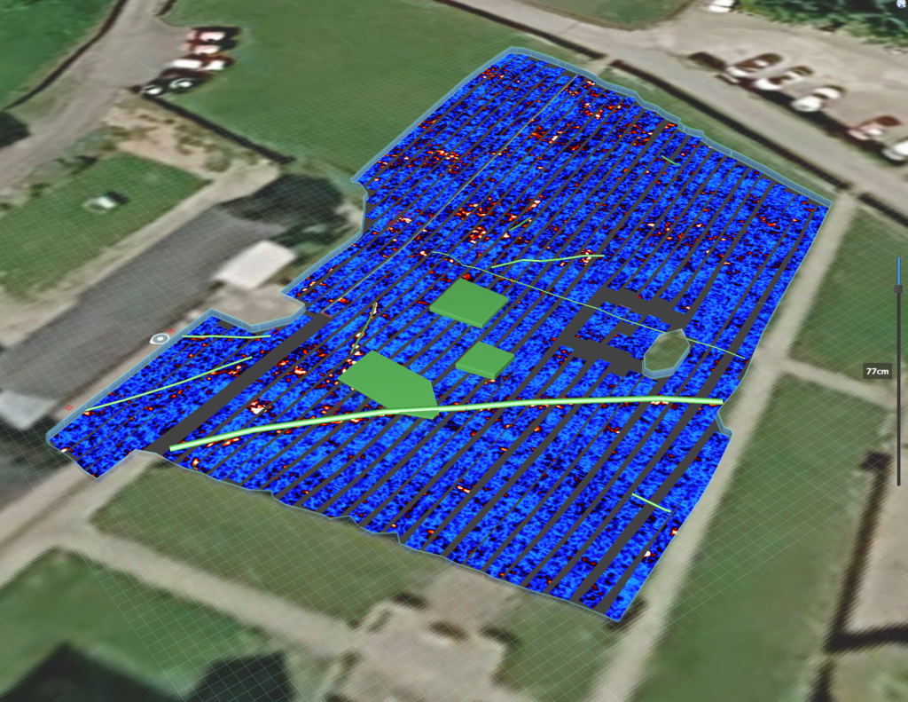
Ground penetrating radar depth slice showing buried pipe and cable reflections.
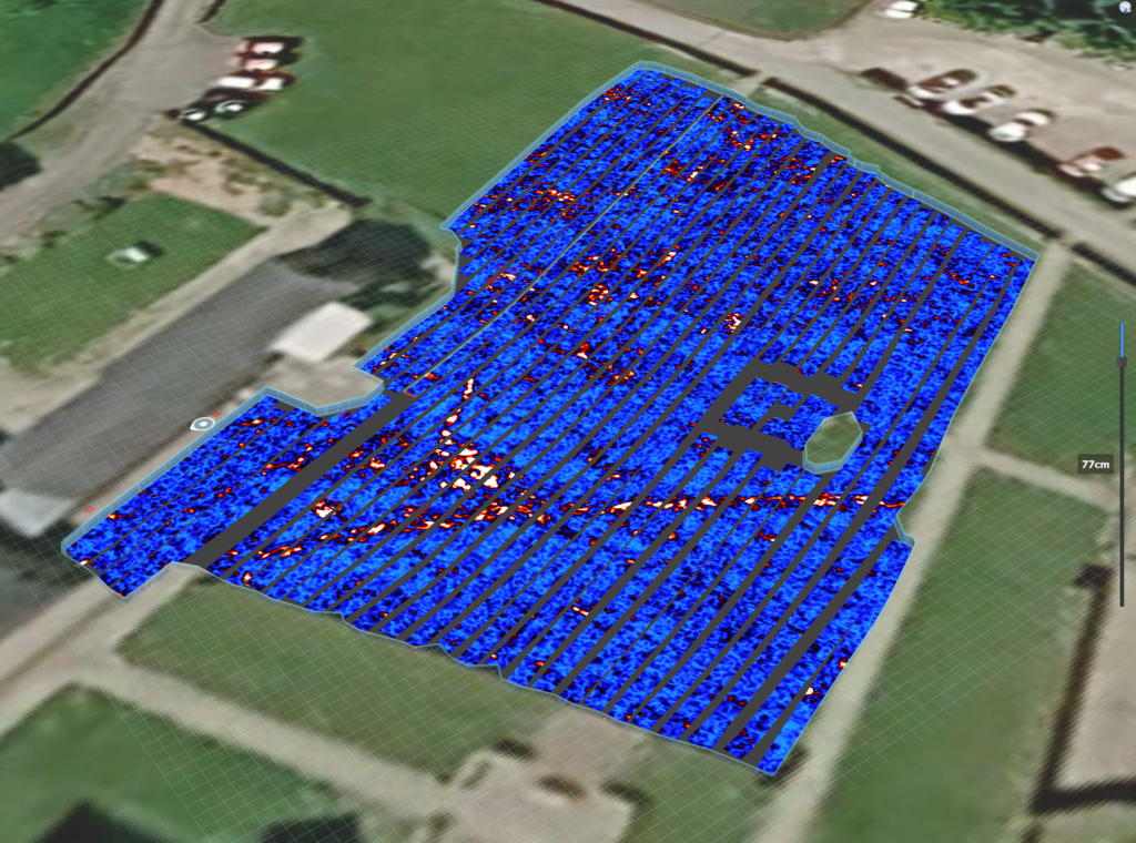
Underground utilities traced from GPR data during a utility mapping survey.
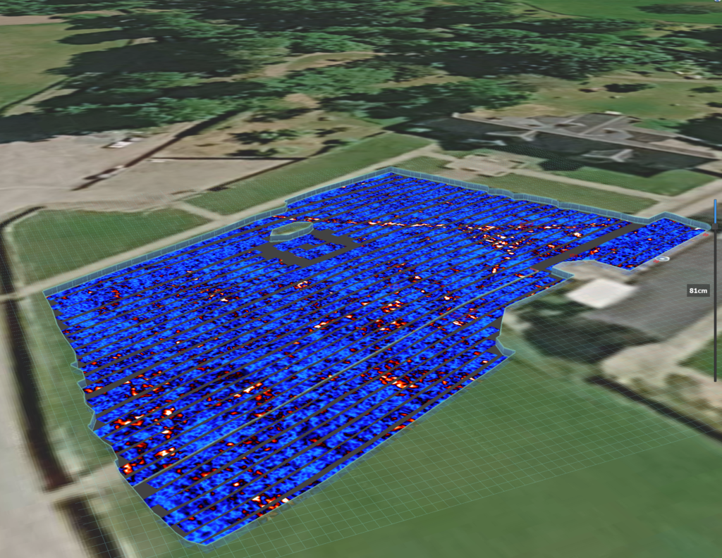
3D underground utility model with mapped pipes and chambers.
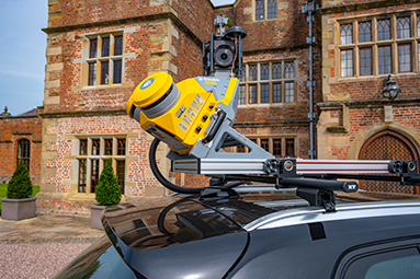
Transform vehicles into powerful data collection platforms. Equipped with a combination of GPS, LiDAR, cameras, and other sensors, to capture highly accurate 3D data as they traverse roads and landscapes.
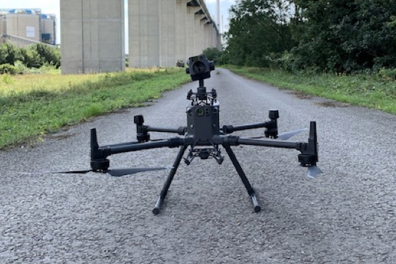
Eliminate the need for personnel to access hard-to-reach areas, such as bridges, power lines, or tall buildings. This leads to rapid data collection, quicker decision-making and a reduction in project timelines.
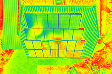
A crucial geospatial technique that reveals temperature variations in objects, structures, and environments.
OR3D's comprehensive Knowledge Base Blog, your go-to resource for all things related to 3D Printing, Scanning, CAD Modelling, Reverse Engineering, Robotics, and company announcements. Our knowledge base is designed to empower you with the latest industry insights and news.

Speak to us today on
+44 (0) 1691 777 774

3 Cedar Court, Brynkinalt Business Centre, Chirk, Wrexham, LL14 5NS
Find Us