Our advanced fleet of drones, coupled with our expertise in aerial imaging, data collection, and analysis, allows us to provide innovative solutions across various industries.
OR3D GEO provides professional drone survey services for engineering, construction, infrastructure and environmental projects across the United Kingdom. Using Unmanned Aerial Vehicle (UAV) platforms equipped with photogrammetry and Light Detection and Ranging (LiDAR) sensors, our surveyors capture accurate, survey-grade aerial data – and, unlike most drone operators, we process every dataset in-house with our own experienced engineers.
What is a drone survey?
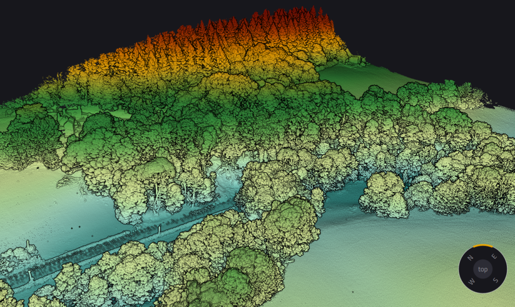
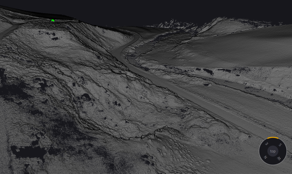
A drone survey uses a UAV to capture overlapping aerial imagery or laser scan data of a site, structure or asset. That raw data is processed into precise, measurable deliverables — 3D point clouds, orthomosaic maps, elevation models and Computer-Aided Design (CAD) drawings – giving you an accurate digital record of your site without the cost, time or safety risk of traditional access methods.
Drone surveys are faster than ground-only survey methods for large or complex sites, safer for inaccessible or hazardous areas, and produce richer data: a single flight can generate millions of measurable points.
Our drone survey services
Topographic and land surveys. Full topographic surveys of development sites, quarries, landfills and estates, delivered as point clouds, contour drawings, Digital Terrain Models (DTMs) and Digital Surface Models (DSMs).
Photogrammetry surveys. High-resolution imagery processed with Pix4D — the industry-leading photogrammetry software OR3D also supplies and supports — into orthomosaics, textured 3D meshes and measurable models.
UAV LiDAR surveys. Laser scanning from the air for vegetation-covered ground, corridors and complex structures where photogrammetry alone can’t reach the surface.
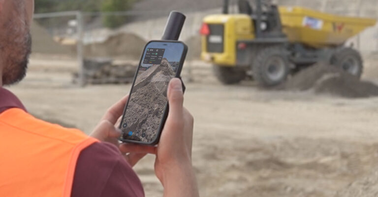
Volumetric surveys. Stockpile measurement and cut-and-fill calculations for quarries, aggregate suppliers and construction earthworks — repeatable flights make month-on-month tracking straightforward.
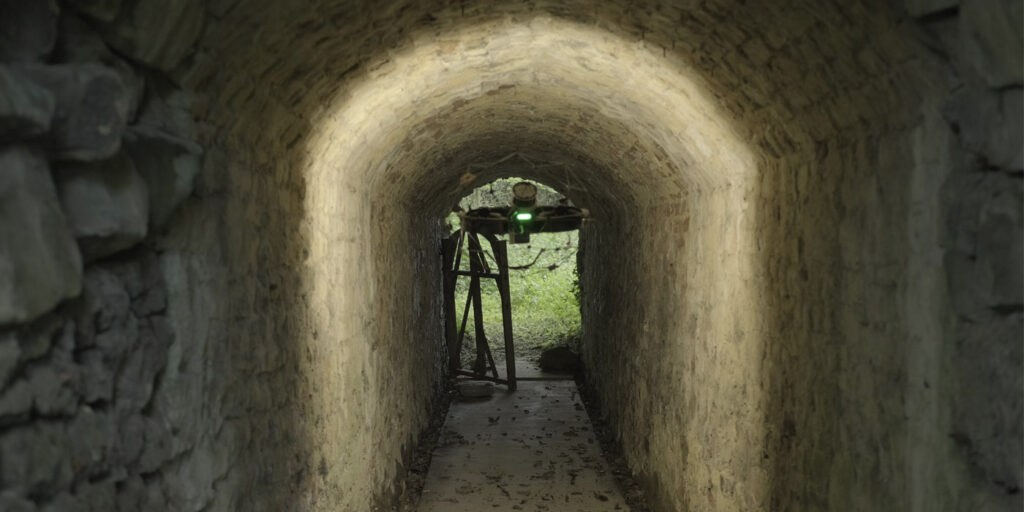
Inspection surveys. Close-visual and thermal inspection of bridges, roofs, cooling towers, wind turbines and confined or high structures — capturing defect-level detail without scaffolding, rope access or road closures. Our Operating Safety Case allows us to work closer to occupied sites than standard-permission operators.
Construction progress monitoring. Scheduled flights that document site progress as measurable 3D data, not just photographs.
Accuracy you can build on
Survey-grade results depend on more than the drone. Our workflows combine:
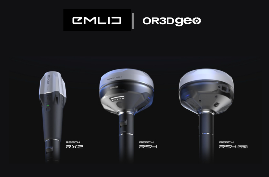
Ground Control Points (GCPs) established with EMLID Global Navigation Satellite System (GNSS) receivers – the same professional positioning hardware OR3D GEO supplies across the UK.
Real-Time Kinematic (RTK) and Post-Processed Kinematic (PPK) positioning for centimetre-level accuracy
Rigorous in-house processing — every point cloud, orthomosaic and model is produced and quality-checked by OR3D’s own engineers in North Wales, never outsourced or offshored.
Many drone survey providers fly the site and send your data abroad for processing. At OR3D, the people who captured your data are in the same building as the people who process it – so questions get answered, and problems get caught early.
Fully compliant, fully insured
All OR3D GEO drone operations are conducted under Civil Aviation Authority (CAA) regulations by qualified remote pilots, with full insurance and site-specific risk assessments and method statements (RAMS) provided as standard. We operate UK-wide, with sales coverage extending to Ireland.
Beyond standard permissions – our Operating Safety Case
OR3D GEO holds a CAA Operational Authorisation built on our own Operating Safety Case (OSC) – a bespoke, CAA-assessed safety case that authorises operations most drone survey providers can’t offer:
Beyond Visual Line of Sight (BVLOS) operations. Using visual mitigations, our pilots can operate up to 2.4 km from the aircraft. Long linear assets — rail corridors, pipelines, transmission lines, river and coastal defences – are surveyed in extended continuous flights rather than stitched-together segments, cutting days from programme times.
Closer working on live sites. Our authorisation permits operations within 50 metres of uninvolved people — so we can survey occupied construction sites, busy industrial facilities and urban structures that standard-permission operators must keep their distance from.
Extended altitude. Authorisation to operate above the standard 400 ft ceiling where the job demands it — tall structures, steep terrain and elevated infrastructure captured in full.
Every OSC operation is flown by pilots who hold OR3D’s own in-house OSC training on top of their CAA qualifications.
Sectors we serve
Defence and Aerospace · Construction and Civil Engineering · Energy, Utilities and Renewables · Rail and Highways Infrastructure · Quarrying and extraction · Heritage and Conservation · Local authorities and the Public sector · Environmental and Flood-risk consultancies.
Deliverables
Depending on your project, we deliver: georeferenced point clouds (LAS/LAZ/E57), orthomosaic maps (GeoTIFF), DTMs and DSMs, contour and topographic drawings (DWG/DXF), textured 3D meshes, inspection reports with tagged imagery, and volumetric calculation reports. All deliverables are quality-checked in-house before handover, and we’ll agree formats with your engineers before we fly.
Why OR3D GEO?
OR3D GEO is the geospatial arm of OR3D, one of the UK’s broadest 3D technology companies. That means your drone survey is backed by capability most UAV operators can’t offer: terrestrial laser scanning and mobile mapping to fill in what the air can’t see, metrology-grade scanning for engineering-tolerance work, EMLID GNSS hardware expertise, Pix4D software partnership, and in-house Application Engineers supporting every project.
One team, one point of contact, one quality standard – from flight planning to final deliverable.
Tell us about your site and what you need to measure, and we’ll recommend the right approach – drone, terrestrial, mobile mapping or a combination.
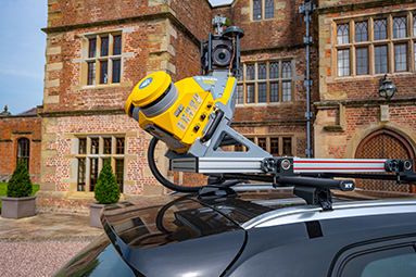
Transform vehicles into powerful data collection platforms. Equipped with a combination of GPS, LiDAR, cameras, and other sensors, to capture highly accurate 3D data as they traverse roads and landscapes.
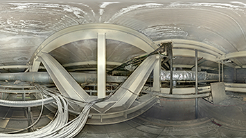
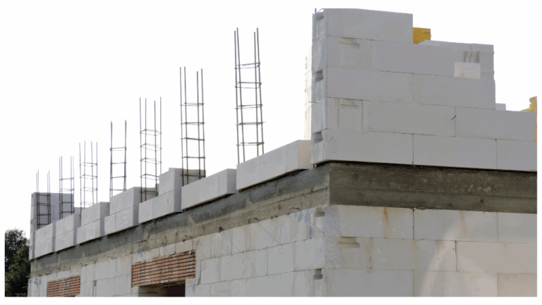
On finding RAAC, OR3D GEO deploy expert structural engineers to immediately evaluate the exact condition of the RAAC and produce a plan and a set of options for next steps.
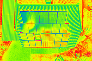
A crucial geospatial technique that reveals temperature variations in objects, structures, and environments.
OR3D's comprehensive Knowledge Base Blog, your go-to resource for all things related to 3D Printing, Scanning, CAD Modelling, Reverse Engineering, Robotics, and company announcements. Our knowledge base is designed to empower you with the latest industry insights and news.

Speak to us today on
+44 (0) 1691 777 774

3 Cedar Court, Brynkinalt Business Centre, Chirk, Wrexham, LL14 5NS
Find Us