To quickly and accurately digitise physical items for use in design, inspection, and visualisation, 3D scanning services are offered to precisely record the physical shape and dimensions of any product.
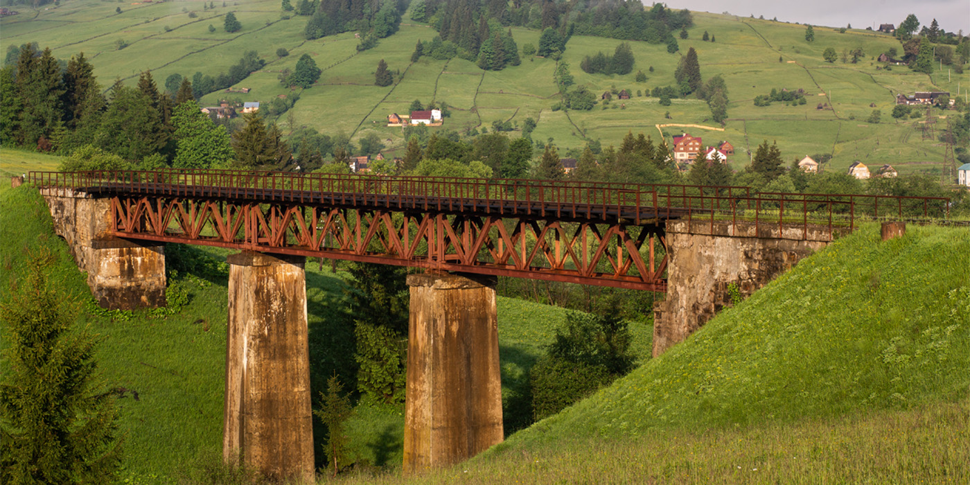
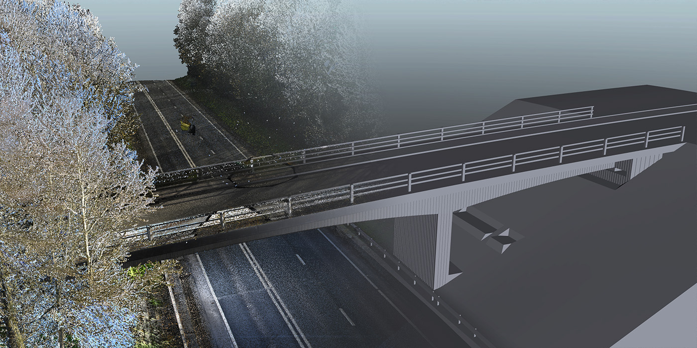
OR3D possess extensive expertise in scanning highways and railway tracks, enabling us to effectively perform various critical tasks such as pothole detection, bridge inspection, overhead cable clearance, simulations, visual inspection, damage assessment, and track monitoring.
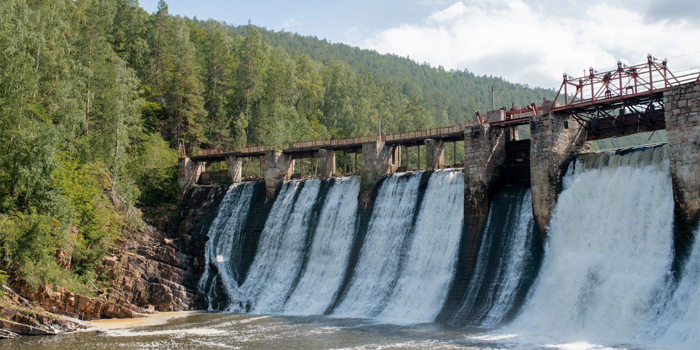
Within the energy sector we can perform many different inspections including defects with powerlines, wind turbine inspection, hydro plant scanning, gas power plant scanning, biomass, nuclear, digital twin, tidal turbines, bathymetry and solar inspection.
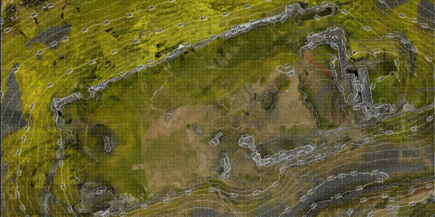
OR3D GEO provide large scale mapping for forestry, flood, data collection, multispectral and agricultural analysis for whatever scale you require.
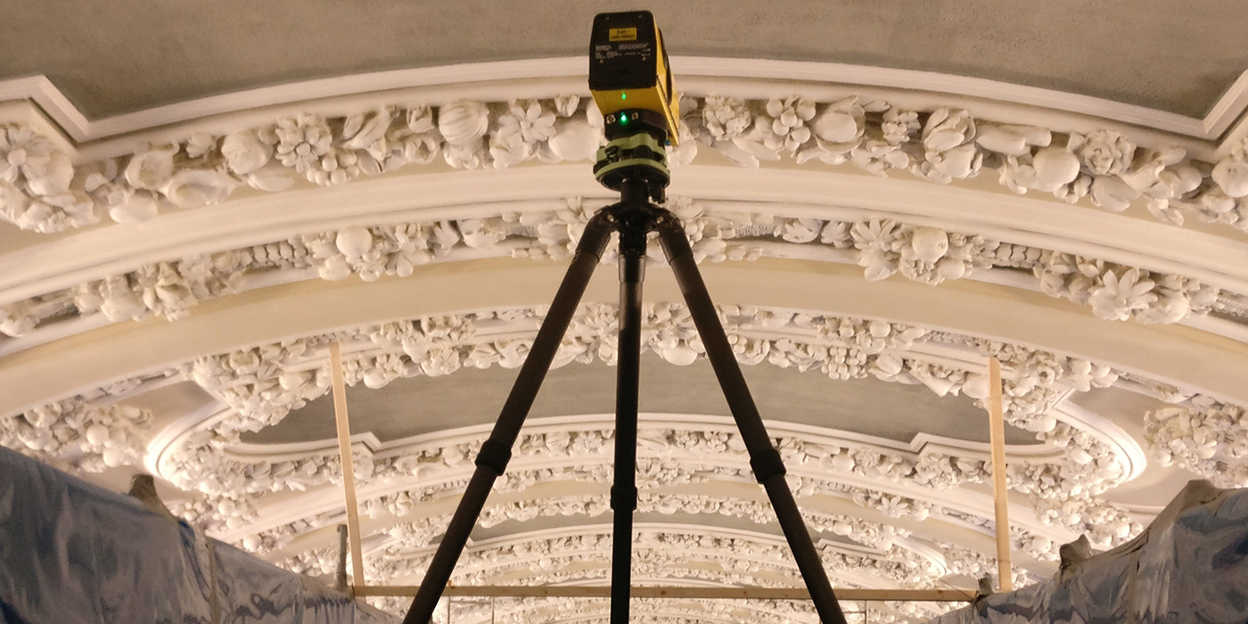
Do you need a digital twin of your heritage structure viewing it in VR and AR? A historical reconstruction or stone work inspection for stone work records? All is possible at OR3D GEO.
OR3D GEO supply simulations showing flood risk information, Building Information Modelling and finite element analysis on a multitude of structures that we have surveyed for you.
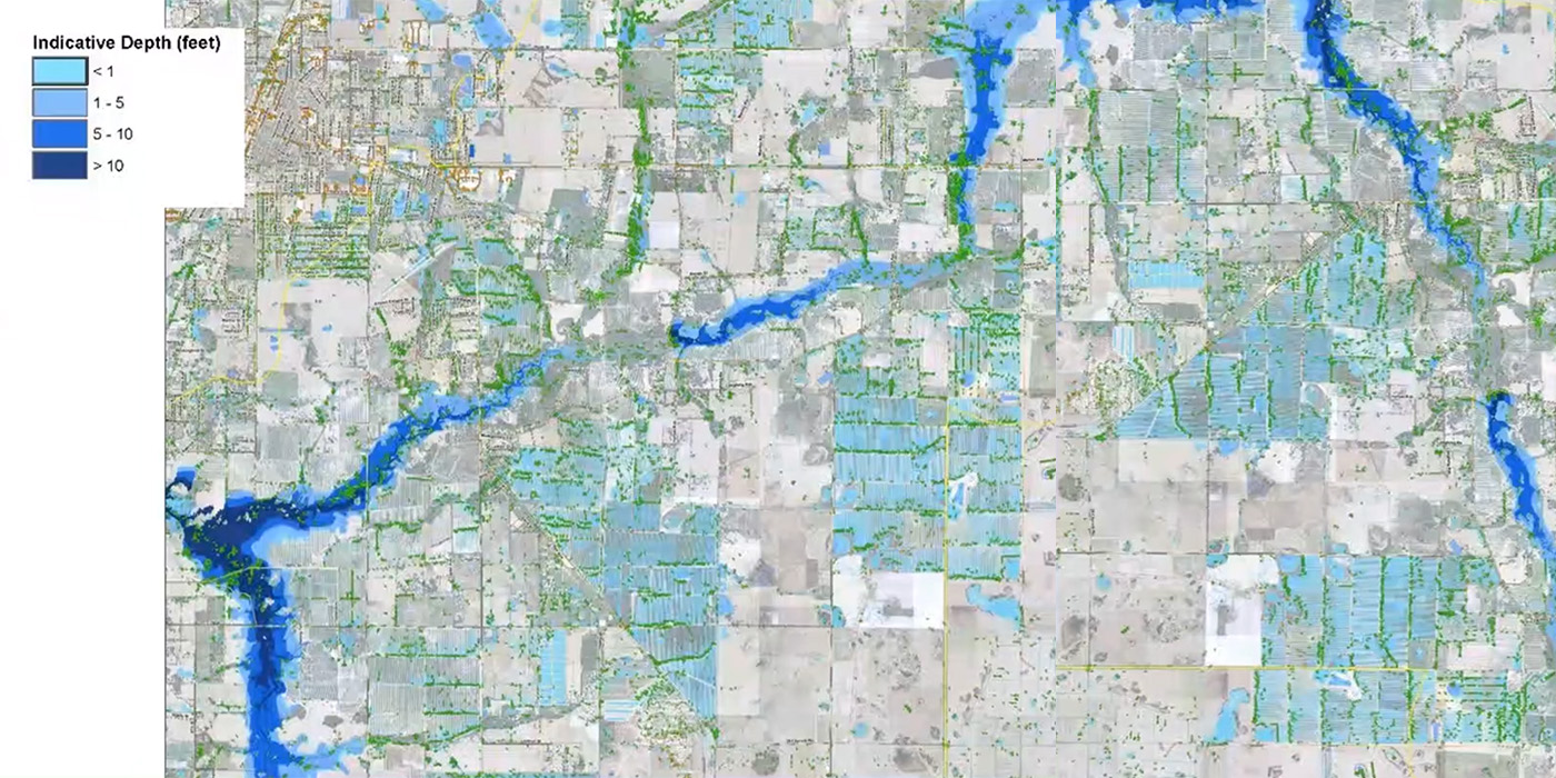
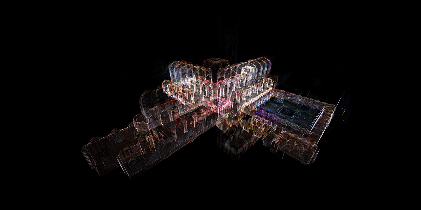
Need computer visualisation of scan data to enhance collaboration and communication between all parties involved within your company? Visualisation makes it easy to present complicated structures for analysis in an easy to understand format.
Using our survey grade 3D data, our Geo-magicians can reverse-engineer the structure's geometry. Depending on whether you want all flaws, such as scratches or dents, included in your CAD model, we can either model to design intent or As Is conditions.
Speak to us today on
+44 (0) 1691 777 774

3 Cedar Court, Brynkinalt Business Centre, Chirk, Wrexham, LL14 5NS
Find Us
“I first saw OR3D at a MAC event at the NEC, in Birmingham, when James was holding practical demonstrations. I realised how much easier it would be for us to have our products scanned and then rendered to make 3D models as, with clients across the world, sometimes language can be a barrier. We previously used photographs to advertise our products, but these 3D images are consistent, our products look uniform, and the overall effect is informative and professional. I would certainly recommend OR3D and look forward to using their services again.”
Simon Hanmer (Managing Director of Freddy Products)