Geospatial

OR3D’s Geospatial Services: A closer look at the specific technologies and services OR3D GEO offer and the industries we serve.

OR3D’s Geospatial Services: A closer look at the specific technologies and services OR3D GEO offer and the industries we serve.

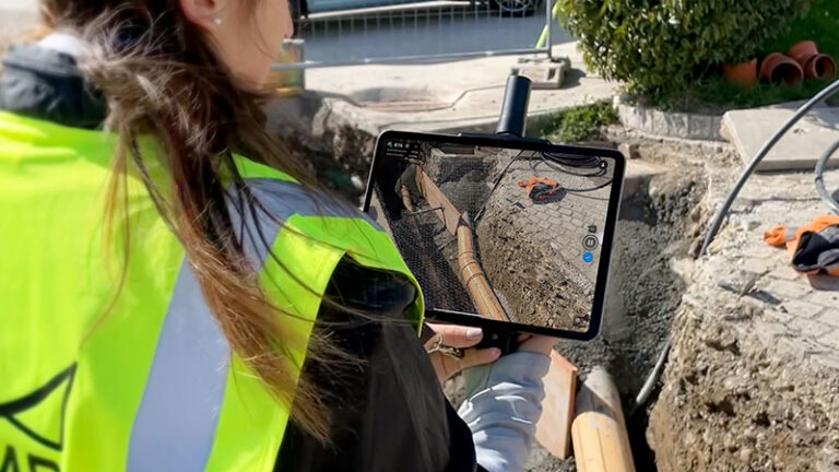
Drone Surveys Drone surveys offer several advantages in civil infrastructure surveying. Drone technologies eliminate the need for personnel to access hard-to-reach areas, such as bridges, power lines or tall buildings.

OR3D GEO partner with PIX4D to launch viDoc RTK Rover

OR3D GEO partner with PIX4D to launch viDoc RTK Rover

The viDoc RTK Rover, when used in conjunction with Pix4Dcatch, offers the potential for enhanced mobile data collection. By leveraging the capabilities of the viDoc RTK Rover, users can benefit from improved accuracy and efficiency in their data collection processes.

Get in touch

What happens next?
  • Our expert team will review your enquiry and get back to you by phone or email within two hours.
  • We can answer any queries you may have, assist you in choosing the most appropriate product or get back to you with a quote for your upcoming project. We’re here to help.

Speak to us today on
+44 (0) 1691 777 774

3 Cedar Court, Brynkinalt Business Centre, Chirk, Wrexham, LL14 5NS
Find Us