
Everything in one hand
IMU, RTK, dual cameras, and SLAM - one device, one operator, one pass across the site.
All-in-one geospatial LiDAR - high-precision IMU, integrated RTK, survey-grade SLAM.
The SHARE C1 PRO is a handheld all-in-one geospatial LiDAR scanner engineered for surveyors who need fast, high-quality capture in the field. Weighing just over 1 kg, it combines a professional-grade high-precision IMU, integrated multi-band RTK positioning, and dual 1-inch large-format image sensors – delivering point clouds that come out of the field already georeferenced, already colourised, and already usable.
Whether you’re capturing 3D real-scene models, running topographic surveys, measuring stockpiles, or mapping cultural heritage sites, SHARE C1 PRO gets you from site to deliverable in a single pass. As a handheld LiDAR scanner built for professional workflows, it fits into surveying, GIS, and BIM pipelines without compromise.
The C1 PRO’s SLAM algorithm is engineered specifically for surveying workflows. Indoor-outdoor transitions, narrow passages, complex structures — the point cloud stays consistent, the trajectory stays stable, and the colourisation stays accurate. For teams switching from static laser scanners to mobile capture, this is the point where mobile LiDAR stops being a compromise and starts being an upgrade.
C1 PRO supports full-constellation multi-frequency positioning across 7 constellations and 24 frequencies — meaning outdoor capture arrives already tied to your coordinate system. No separate control network to set up, no post-processing to a datum, no external RTK rover to carry. The result: field time down, office time down, delivery time down.
Two 1-inch CMOS sensors, 16 MP each, with a professional mechanical shutter for global exposure. In practical terms, this is what gives the C1 PRO’s point clouds their photographic-quality colourisation. Rolling shutter distortion is eliminated at high-speed capture. Exposure is synchronised to camera POS data. Colour matches spatial position — which is exactly what you need for heritage documentation, real-scene modelling, and client-facing deliverables.
At 1,079 g with a 150-minute battery life and PD 30 W fast charging, the C1 PRO is built for a full day’s work. Working temperature range of -20°C to +50°C means it handles British winters and continental summers. Type-C interface, TF card storage (256 GB expandable), and WiFi 6 keep data flow simple and fast.
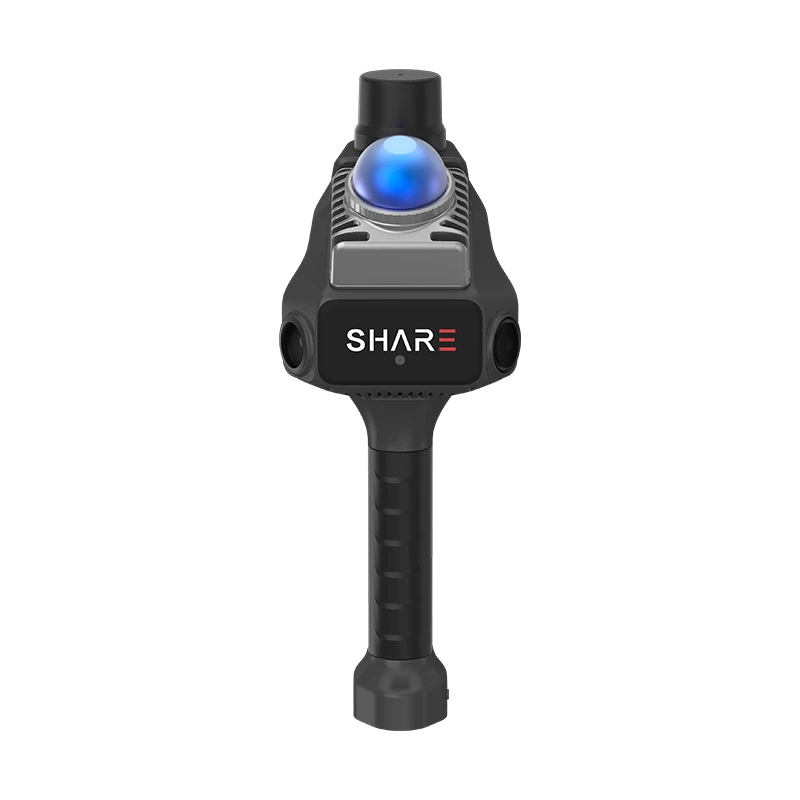
IMU, RTK, dual cameras, and SLAM - one device, one operator, one pass across the site.
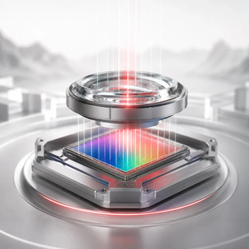
Dual 1-inch sensors and a mechanical shutter deliver true-colour point clouds that look like the site, not like a technical output.
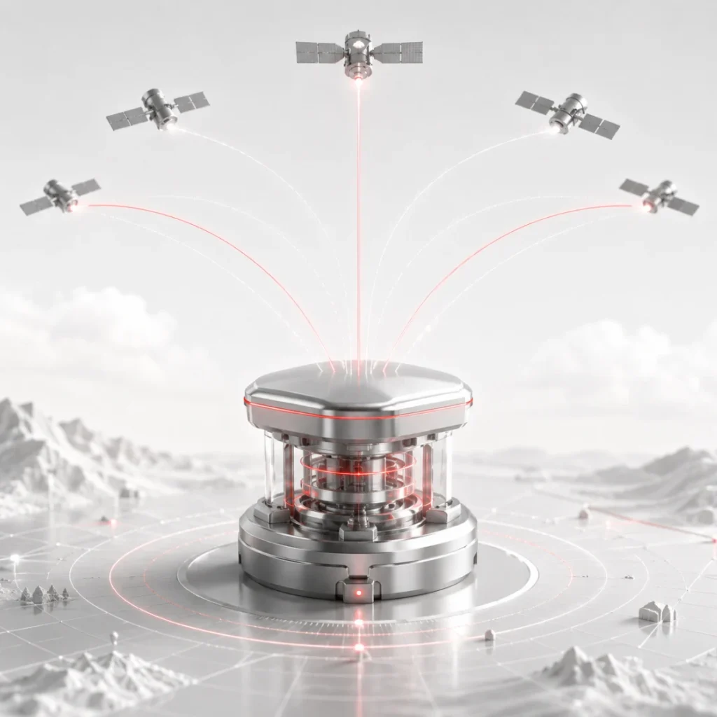
Full-constellation multi-band RTK positioning. Data lands in your coordinate system without a separate control network.

Speak to us today on
+44 (0) 1691 777 774

3 Cedar Court, Brynkinalt Business Centre, Chirk, Wrexham, LL14 5NS
Find Us